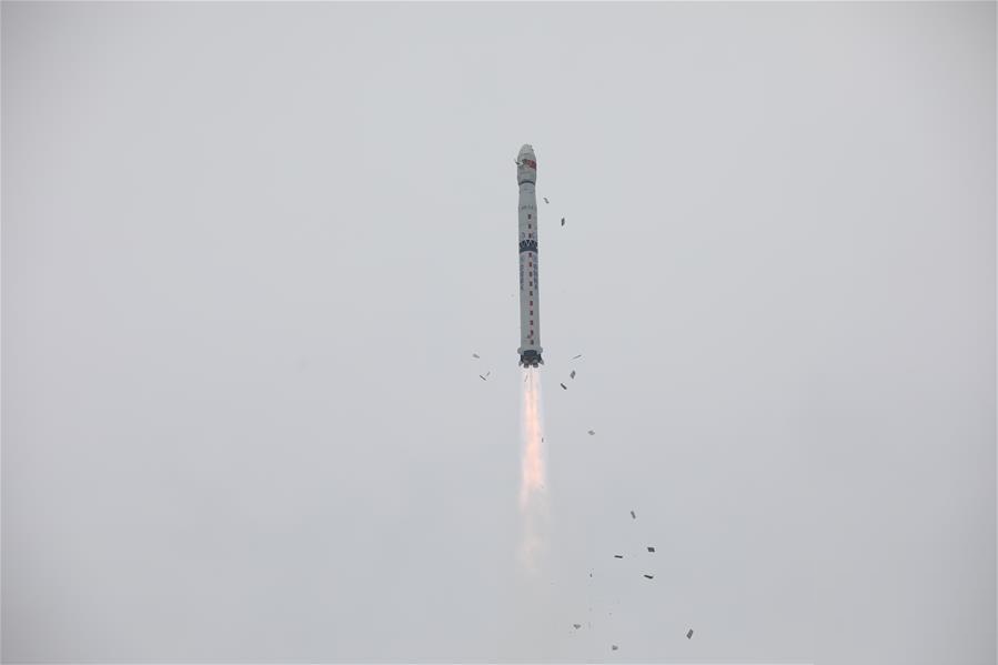
China sent a new high-resolution mapping satellite into space on Saturday from the Taiyuan Satellite Launch Center in the northern province of Shanxi. They were developed by the Shanghai ASES Spaceflight Technology Co. Ltd. The Ziyuan III 03 satellite was launched by a Long March-4B rocket at 11:13 a.m. Beijing time, according to the center. It was the 341st flight mission by the Long March rocket series. Also on board the rocket were two satellites used for dark matter detection and commercial data acquisition respectively.
Ziyuan III 03, developed by the China Academy of Space Technology, will join its predecessor Ziyuan III 02 to form a network and capture high-definition 3D images and multispectral data. All three satellites have entered preset orbits. It will provide data for the country’s land resources investigation, natural disaster prevention, agriculture development, water resources management, environmental survey and urban planning.
Ziyuan or Zi Yuan (Chinese: resources) is a series of remote sensing satellites operated by the People’s Republic of China. Several Ziyuan satellites are operated jointly with Brazil’s National Institute for Space Research under the China–Brazil Earth Resources Satellite programme. Ziyuan satellites are based on the Phoenix-Eye-1 or Phoenix-Eye-2 satellite buses – the Phoenix-Eye-1 is used for CBERS missions while the Phoenix-Eye-2 is used for the remaining satellites. The Ziyuan-II series satellites are operated by the Chinese military. The Ziyuan-III series satellites are operated by the Ministry of Natural Resources.


