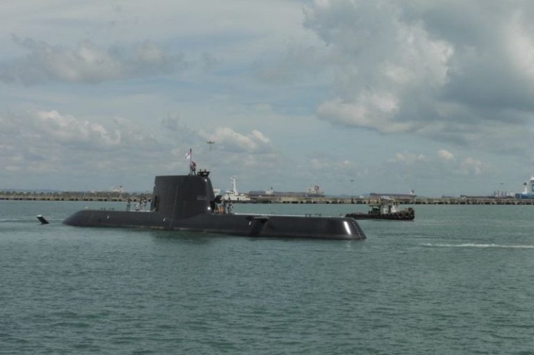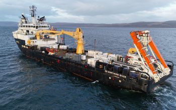
Between a recent static detonation and an upcoming test evolution, a decommissioned frigate is taking hits to help the Navy test a new use for lidar scanning and 3D ship models—assessing battle damage. The static detonation training event in late March, in which an explosive charge was placed aboard the ship for the purpose of damaging it, and the upcoming evolution are critical pieces of a lidar-focused megaproject funded by the Naval Innovative Science and Engineering (NISE) program. As part of the project, multiple warfare centers are working together to build 3D models of entire ships from lidar scans, aiming to expand the use of those models to battle damage assessment and repair as well as to installation and modernization, and other fleet applications.
Lidar, short for light detection and ranging, scans an object in three dimensions by bouncing laser beams off of it and measuring how long they take to return. The technology can capture a vast network, or cloud, of data points and stitch together scans from different perspectives to create a millimeter-accurate 3D digital representation of the object. The latest lidar scanning tools can also take photos and overlay them on the data point cloud for a more realistic-looking model. These lidar-generated 3D models have become a priority for the Navy fleet. Last year, Program Executive Office Integrated Warfare Systems issued a memo directing installation and modernization teams to perform lidar scans, when the technology is available, of areas they work on aboard Navy ships.
For several years, NSWC PHD has been brainstorming with other In-Service Engineering Agent of the Future campaign partners—including Violante at NSWC PD and Ray Provost, project manager for the Reverse Engineering, Science & Technology for Obsolescence, Restoration and Evaluation Lab, known as the RESTORE Lab, at Naval Information Warfare Center (NIWC) Pacific in San Diego—about the potential for lidar scanning to streamline their installation and modernization work. For example, more accurate installation drawings could help avoid unforeseen obstacles and delays during ship work. Lidar scans can produce 3D models of ships that are accurate to a millimeter. Installation and modernization teams can use those models to measure areas of the ship before going aboard to install equipment.

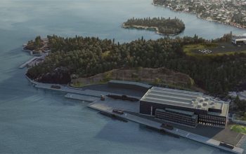
In 2020, that pitch went into practice as NSWC PHD worked with NIWC Pacific to lidar-scan the entire interior and exterior of USS San Diego (LPD 22), an amphibious transport dock. The result was the first full-ship 3D digital model of an LPD-class vessel. Scanning an entire ship may seem costly due to the extensive data capture and analysis involved. For example, the team that scanned USS San Diego captured more than 7,000 individual scans from different positions in and around the massive vessel over the course of nearly two months. But Bickford said that ship-level scans are a worthy investment considering the potential to boost efficiency and eliminate costly mistakes.
Although Violante and Bickford were initially focused on the role of lidar scanning in installation and modernization, they eventually found other potential uses and communities that could benefit from the ship-level 3D models, such as damage assessment. If a Navy ship sustains damage in an engagement, Naval Sea Systems Command is typically responsible for engineering assessments to determine whether the vessel should return home or stay in the fight. Historically, this requires people to travel to the ship to inspect the damage, take photos and write a report. To respond to casualties more efficiently and accurately, Nahshon saw potential in using a “healthy” pre-casualty 3D model of a ship to compare to its damaged condition.
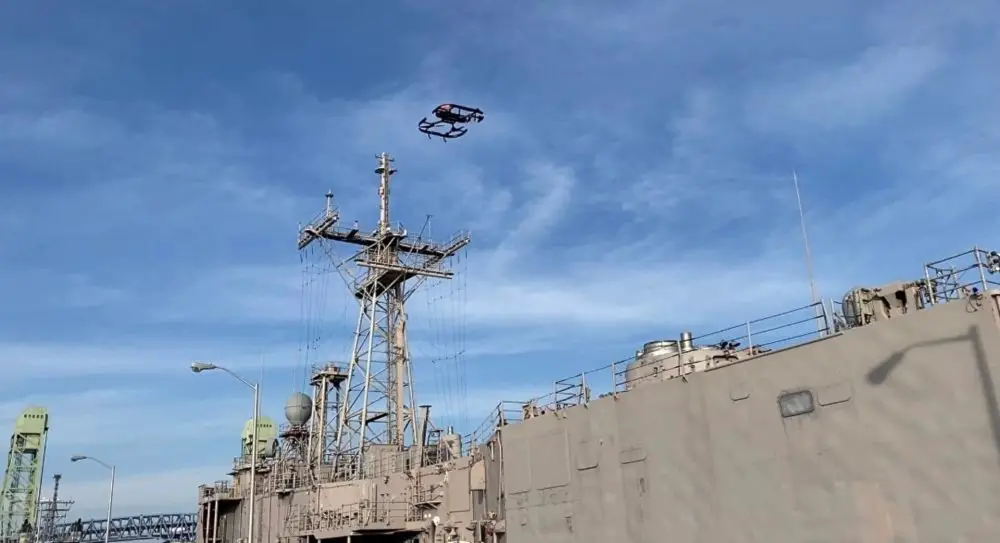
The upcoming evolution on the decommissioned frigate will test Nahshon’s idea of generating 3D data sets using aerial imagery. First, the megaproject partners built a pre-casualty baseline model of the frigate. At a shipyard in Philadelphia in mid-February, personnel from NSWC PHD, NSWC PD and NIWC Pacific scanned the ship with a tripod-mounted 3D laser scanner. The resulting model is a highly accurate and up-to-date representation of the inactive frigate, inside and out. After the ship sustains damage in the upcoming test evolution, a drone and manned aerial platforms will take photos to build a post-casualty model. Then a team at NIWC Pacific will overlay the post-casualty model on the pre-casualty model for the purpose of damage assessment.